Paddock fencing along the Moulton Road
Introduction
The photograph on this page of Paddock fencing along the Moulton Road by Bob Jones as part of the Geograph project.
The Geograph project started in 2005 with the aim of publishing, organising and preserving representative images for every square kilometre of Great Britain, Ireland and the Isle of Man.

There are currently over 7.5m images from over 14,400 individuals and you can help contribute to the project by visiting https://www.geograph.org.uk
Paddock fencing along the Moulton Road
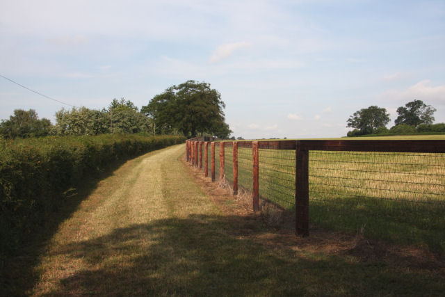
Image: © Bob Jones Taken: 24 Jun 2010
In this area east of Newmarket, most of the fields are used as paddocks for grazing racehorses. The hedges are kept well-trimmed, such as the one on the left which borders the Moulton Road, and the area between the hedge and the sturdy fencing is regularly mown.
Images are licensed for reuse under creativecommons.org/licenses/by-sa/2.0
Image Location
Latitude
52.24785
Longitude
0.453479