Ilsington village
Introduction
The photograph on this page of Ilsington village by Alan Hunt as part of the Geograph project.
The Geograph project started in 2005 with the aim of publishing, organising and preserving representative images for every square kilometre of Great Britain, Ireland and the Isle of Man.

There are currently over 7.5m images from over 14,400 individuals and you can help contribute to the project by visiting https://www.geograph.org.uk
Ilsington village
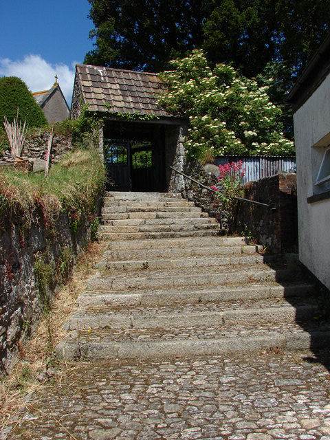
Image: © Alan Hunt Taken: 20 Jun 2010
The eastern lych gate into the churchyard of St Michael's church. The steps run down the side of the Carpenters Arms, a nice short walk for the post service pint.
Images are licensed for reuse under creativecommons.org/licenses/by-sa/2.0
Image Location
Latitude
50.572257
Longitude
-3.716162