Sea View Terrace
Introduction
The photograph on this page of Sea View Terrace by Oast House Archive as part of the Geograph project.
The Geograph project started in 2005 with the aim of publishing, organising and preserving representative images for every square kilometre of Great Britain, Ireland and the Isle of Man.

There are currently over 7.5m images from over 14,400 individuals and you can help contribute to the project by visiting https://www.geograph.org.uk
Sea View Terrace
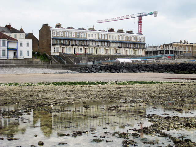
Image: © Oast House Archive Taken: 24 Jun 2010
A row of terraced houses, many now converted to flats. Looking across the edge of rock pools during low tide.
Images are licensed for reuse under creativecommons.org/licenses/by-sa/2.0
Image Location
Latitude
51.386183
Longitude
1.367602