Thanet Viking Coastal Trail
Introduction
The photograph on this page of Thanet Viking Coastal Trail by Oast House Archive as part of the Geograph project.
The Geograph project started in 2005 with the aim of publishing, organising and preserving representative images for every square kilometre of Great Britain, Ireland and the Isle of Man.

There are currently over 7.5m images from over 14,400 individuals and you can help contribute to the project by visiting https://www.geograph.org.uk
Thanet Viking Coastal Trail
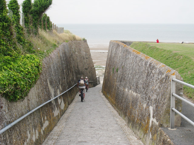
Image: © Oast House Archive Taken: 24 Jun 2010
The trail follows the coast along the roads and along the sea path. Here the route descents down to Epple Bay.
Images are licensed for reuse under creativecommons.org/licenses/by-sa/2.0
Image Location
Latitude
51.37997
Longitude
1.31425