The Monument Road, Knockagh
Introduction
The photograph on this page of The Monument Road, Knockagh by Albert Bridge as part of the Geograph project.
The Geograph project started in 2005 with the aim of publishing, organising and preserving representative images for every square kilometre of Great Britain, Ireland and the Isle of Man.

There are currently over 7.5m images from over 14,400 individuals and you can help contribute to the project by visiting https://www.geograph.org.uk
The Monument Road, Knockagh
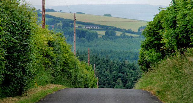
Image: © Albert Bridge Taken: 24 Jun 2010
The Monument Road, from Knockagh war memorial Image, as it drops towards the Knockagh Road Image Woodburn forest is in the background. This photo gives a fairly good impression of the general appearance of the countryside, on higher ground, in this part of east Antrim.
Images are licensed for reuse under creativecommons.org/licenses/by-sa/2.0
Image Location
Latitude
54.717747
Longitude
-5.884827