The Knockagh Road near Carrickfergus (2)
Introduction
The photograph on this page of The Knockagh Road near Carrickfergus (2) by Albert Bridge as part of the Geograph project.
The Geograph project started in 2005 with the aim of publishing, organising and preserving representative images for every square kilometre of Great Britain, Ireland and the Isle of Man.

There are currently over 7.5m images from over 14,400 individuals and you can help contribute to the project by visiting https://www.geograph.org.uk
The Knockagh Road near Carrickfergus (2)
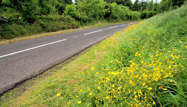
Image: © Albert Bridge Taken: 24 Jun 2010
The Knockagh Road runs off the Old Carrick Road near Monkstown, climbing steeply towards Woodburn forest before descending, through hairpin bends to the Upper Road near Carrickfergus. This part, lined by buttercups, is just past the Monument Road at Knockagh.
Images are licensed for reuse under creativecommons.org/licenses/by-sa/2.0
Image Location
Latitude
54.7192
Longitude
-5.885683