Flood arch under Hammet Bridge
Introduction
The photograph on this page of Flood arch under Hammet Bridge by Natasha Ceridwen de Chroustchoff as part of the Geograph project.
The Geograph project started in 2005 with the aim of publishing, organising and preserving representative images for every square kilometre of Great Britain, Ireland and the Isle of Man.

There are currently over 7.5m images from over 14,400 individuals and you can help contribute to the project by visiting https://www.geograph.org.uk
Flood arch under Hammet Bridge
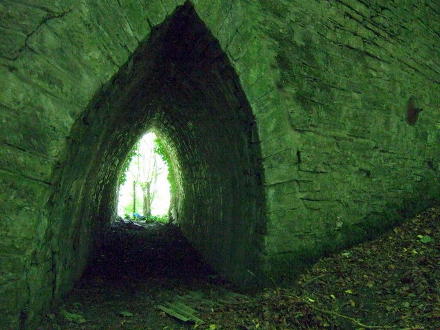
Image: © Natasha Ceridwen de Chroustchoff Taken: 19 Jun 2010
There are a pointed flood arches on both sides of the main span (although the one on the other side is blocked up by earth.) I wonder how often the river is so high that they come into use?
Images are licensed for reuse under creativecommons.org/licenses/by-sa/2.0
Image Location
Latitude
52.055494
Longitude
-4.604024