Porkellis
Introduction
The photograph on this page of Porkellis by Tony Atkin as part of the Geograph project.
The Geograph project started in 2005 with the aim of publishing, organising and preserving representative images for every square kilometre of Great Britain, Ireland and the Isle of Man.

There are currently over 7.5m images from over 14,400 individuals and you can help contribute to the project by visiting https://www.geograph.org.uk
Porkellis
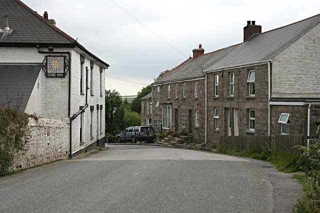
Image: © Tony Atkin Taken: 28 Jun 2006
Porkellis is a hamlet which presumably grew up in the 19th century along with the nearby mines.
Images are licensed for reuse under creativecommons.org/licenses/by-sa/2.0
Image Location


Leaflet Map data © OpenStreetMap
Latitude
50.154725
Longitude
-5.232384