Martin Close, Cirencester
Introduction
The photograph on this page of Martin Close, Cirencester by Brian Robert Marshall as part of the Geograph project.
The Geograph project started in 2005 with the aim of publishing, organising and preserving representative images for every square kilometre of Great Britain, Ireland and the Isle of Man.

There are currently over 7.5m images from over 14,400 individuals and you can help contribute to the project by visiting https://www.geograph.org.uk
Martin Close, Cirencester
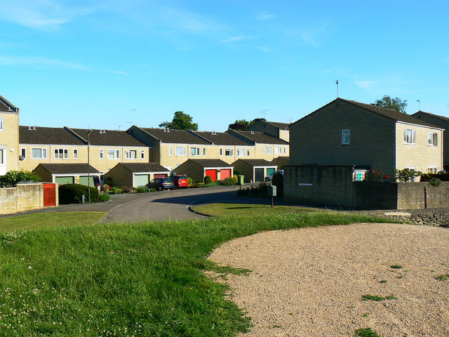
Image: © Brian Robert Marshall Taken: 23 Jun 2010
These properties are just south of a Roman amphitheatre. Cotswold Avenue runs out of sight between Martin Close and the viewpoint. This is one of several images taken of or from the amphitheatre. Next image Image
Images are licensed for reuse under creativecommons.org/licenses/by-sa/2.0
Image Location
Latitude
51.709891
Longitude
-1.970862