Farmwood Close, Newport
Introduction
The photograph on this page of Farmwood Close, Newport by Jaggery as part of the Geograph project.
The Geograph project started in 2005 with the aim of publishing, organising and preserving representative images for every square kilometre of Great Britain, Ireland and the Isle of Man.

There are currently over 7.5m images from over 14,400 individuals and you can help contribute to the project by visiting https://www.geograph.org.uk
Farmwood Close, Newport
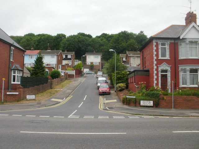
Image: © Jaggery Taken: 24 Jun 2010
Viewed from Chepstow Road. Farmwood Close forms a T shape. This view is of the tail of the T ; the two arms at the top of this view are to the SW http://www.geograph.org.uk/photo/1930891 and NE. http://www.geograph.org.uk/photo/1930899
Images are licensed for reuse under creativecommons.org/licenses/by-sa/2.0
Image Location
Latitude
51.589669
Longitude
-2.954082