Lane to Higher Lake
Introduction
The photograph on this page of Lane to Higher Lake by Robin Stott as part of the Geograph project.
The Geograph project started in 2005 with the aim of publishing, organising and preserving representative images for every square kilometre of Great Britain, Ireland and the Isle of Man.

There are currently over 7.5m images from over 14,400 individuals and you can help contribute to the project by visiting https://www.geograph.org.uk
Lane to Higher Lake
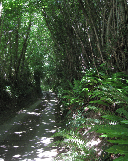
Image: © Robin Stott Taken: 22 Jun 2010
A veritable "tunnel of green gloom" formed not by chestnuts, as in Rupert Brooke's poem*, but coppiced ash and hazel. *'The Old Vicarage, Grantchester'
Images are licensed for reuse under creativecommons.org/licenses/by-sa/2.0
Image Location
Latitude
50.505309
Longitude
-3.724592