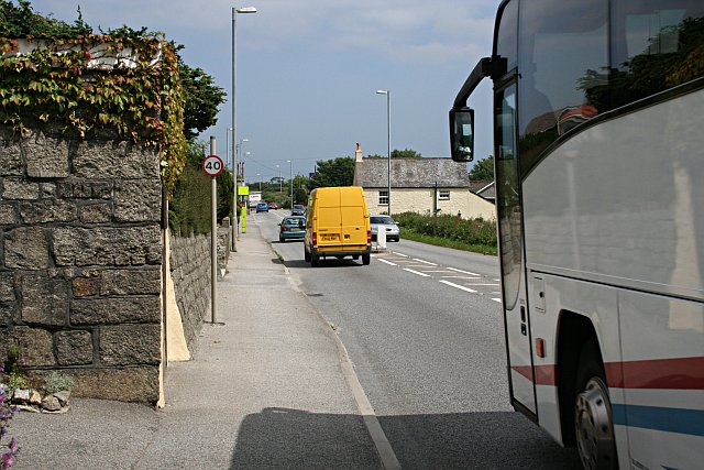
Longdowns Village
Introduction
The photograph on this page of Longdowns Village by Tony Atkin as part of the Geograph project.
The Geograph project started in 2005 with the aim of publishing, organising and preserving representative images for every square kilometre of Great Britain, Ireland and the Isle of Man.
There are currently over 7.5m images from over 14,400 individuals and you can help contribute to the project by visiting https://www.geograph.org.uk

Image: © Tony Atkin Taken: 28 Jun 2006
I assume that this village probably grew up beside the main road to house the workers at the nearby quarry. Today it could be a pleasant place to live if it was not for the fact that it is torn apart by the main road. Traffic is allowed to tear past on the narrow road at 40 miles per hour (as we know, most drivers regard the speed limit signs as an invitation to drive exactly at the limit and never below). Quite apart from the danger of all this, the noise and fumes are appalling.

