Junction of Dean Hill and Clapper Hill
Introduction
The photograph on this page of Junction of Dean Hill and Clapper Hill by David Anstiss as part of the Geograph project.
The Geograph project started in 2005 with the aim of publishing, organising and preserving representative images for every square kilometre of Great Britain, Ireland and the Isle of Man.

There are currently over 7.5m images from over 14,400 individuals and you can help contribute to the project by visiting https://www.geograph.org.uk
Junction of Dean Hill and Clapper Hill
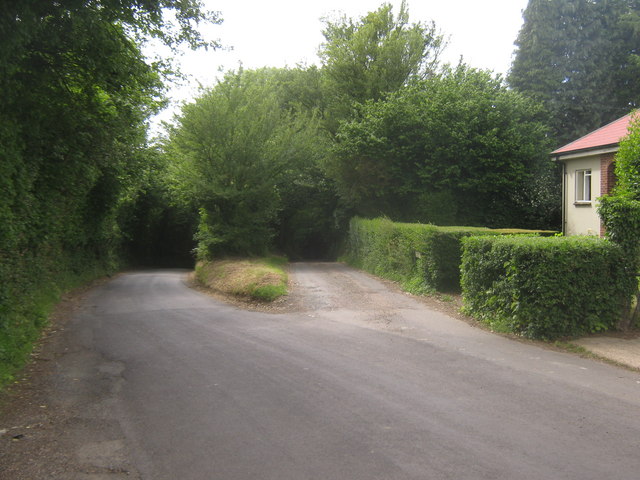
Image: © David Anstiss Taken: 20 Jun 2010
Thorn Lane from the B2068 Stone Street, divides at Westcroft Farm (on the right) Dean Hill heads left towards Dean Farm and Hill Street. Clapper Hill (very narrow lane) heads straight on past Yockletts Banks Nature Reserve towards Sheepcourt Farm and Duckpit Road.
Images are licensed for reuse under creativecommons.org/licenses/by-sa/2.0
Image Location
Latitude
51.181627
Longitude
1.043104