Green Lane and Hedge Parsley
Introduction
The photograph on this page of Green Lane and Hedge Parsley by Tony Atkin as part of the Geograph project.
The Geograph project started in 2005 with the aim of publishing, organising and preserving representative images for every square kilometre of Great Britain, Ireland and the Isle of Man.

There are currently over 7.5m images from over 14,400 individuals and you can help contribute to the project by visiting https://www.geograph.org.uk
Green Lane and Hedge Parsley
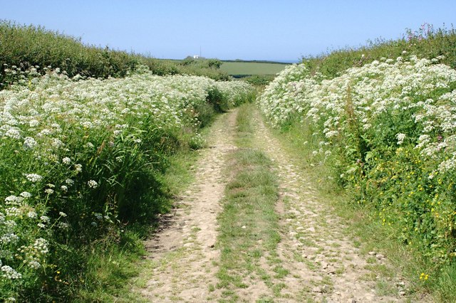
Image: © Tony Atkin Taken: 20 Jun 2010
A green lane leading to Blagdon Farm and Hartland Point. It gets much narrower further on, more like an overgrown footpath between two hedges.
Images are licensed for reuse under creativecommons.org/licenses/by-sa/2.0
Image Location


Leaflet Map data © OpenStreetMap
Latitude
51.009571
Longitude
-4.516893