Garnon's Mill Road, Cilgerran
Introduction
The photograph on this page of Garnon's Mill Road, Cilgerran by Natasha Ceridwen de Chroustchoff as part of the Geograph project.
The Geograph project started in 2005 with the aim of publishing, organising and preserving representative images for every square kilometre of Great Britain, Ireland and the Isle of Man.

There are currently over 7.5m images from over 14,400 individuals and you can help contribute to the project by visiting https://www.geograph.org.uk
Garnon's Mill Road, Cilgerran
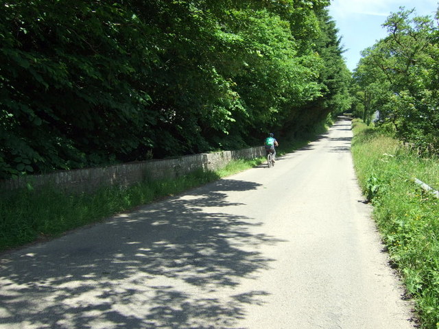
Image: © Natasha Ceridwen de Chroustchoff Taken: 19 Jun 2010
The road was built by Benjamin Hammet of Castell Malgwyn, at the end of the C18, to replace the original Llechryd to Cilgerran road which ran through his property, see Image Such were the days when the re-routing of an inconvenient highway, along with the removal of other undesirable features such as peasants' dwellings, could be effected by the rich and powerful without let or hindrance. As put by Oliver Goldsmith in The Deserted Village: The man of wealth and pride Takes up a space that many poor supplied; Space for his lake, his park's extended bounds, Space for his horses, equipage and hounds.
Images are licensed for reuse under creativecommons.org/licenses/by-sa/2.0
Image Location
Latitude
52.055587
Longitude
-4.603884