New housing development in Meeting Lane
Introduction
The photograph on this page of New housing development in Meeting Lane by Chris Holifield as part of the Geograph project.
The Geograph project started in 2005 with the aim of publishing, organising and preserving representative images for every square kilometre of Great Britain, Ireland and the Isle of Man.

There are currently over 7.5m images from over 14,400 individuals and you can help contribute to the project by visiting https://www.geograph.org.uk
New housing development in Meeting Lane
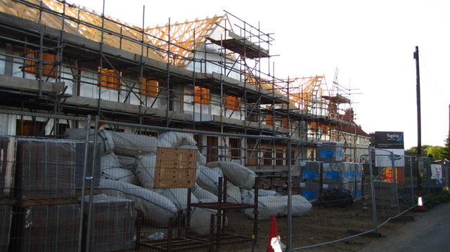
Image: © Chris Holifield Taken: 16 Jun 2010
The new Social Housing development in Meeting Lane on the site of some old council houses. See Image
Images are licensed for reuse under creativecommons.org/licenses/by-sa/2.0
Image Location
Latitude
52.108045
Longitude
1.247796