Nameless plantation, Long Lane
Introduction
The photograph on this page of Nameless plantation, Long Lane by Chris Denny as part of the Geograph project.
The Geograph project started in 2005 with the aim of publishing, organising and preserving representative images for every square kilometre of Great Britain, Ireland and the Isle of Man.

There are currently over 7.5m images from over 14,400 individuals and you can help contribute to the project by visiting https://www.geograph.org.uk
Nameless plantation, Long Lane
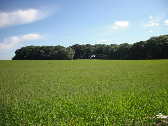
Image: © Chris Denny Taken: 20 Jun 2010
Many of the plantations in this area have a name. This may have one but it does not appear on any map.
Images are licensed for reuse under creativecommons.org/licenses/by-sa/2.0
Image Location
Latitude
53.546721
Longitude
-2.87348