Stream at Porkellis Bridge
Introduction
The photograph on this page of Stream at Porkellis Bridge by Sheila Russell as part of the Geograph project.
The Geograph project started in 2005 with the aim of publishing, organising and preserving representative images for every square kilometre of Great Britain, Ireland and the Isle of Man.

There are currently over 7.5m images from over 14,400 individuals and you can help contribute to the project by visiting https://www.geograph.org.uk
Stream at Porkellis Bridge
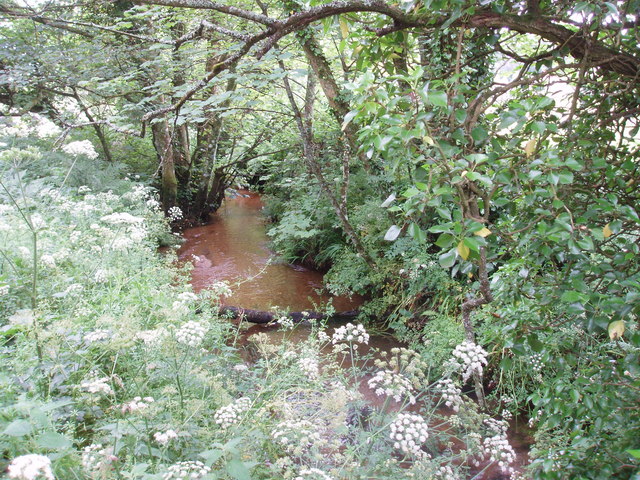
Image: © Sheila Russell Taken: 28 Jun 2006
The stream flows down to the marshy land of Porkerris Moor.
Images are licensed for reuse under creativecommons.org/licenses/by-sa/2.0
Image Location
Latitude
50.155467
Longitude
-5.238035