Railway east of Kidbrooke
Introduction
The photograph on this page of Railway east of Kidbrooke by Stephen Craven as part of the Geograph project.
The Geograph project started in 2005 with the aim of publishing, organising and preserving representative images for every square kilometre of Great Britain, Ireland and the Isle of Man.

There are currently over 7.5m images from over 14,400 individuals and you can help contribute to the project by visiting https://www.geograph.org.uk
Railway east of Kidbrooke
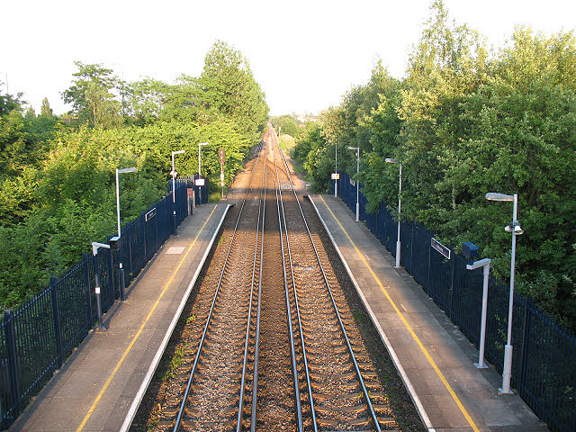
Image: © Stephen Craven Taken: 20 Jun 2010
A view from the footbridge over Kidbrooke station, looking towards Eltham. The railway was built long before the area was developed for housing and runs dead straight for 2km between Blackheath Junction and Eltham.
Images are licensed for reuse under creativecommons.org/licenses/by-sa/2.0
Image Location
Latitude
51.461065
Longitude
0.030258