Field and trees south of Elkesley
Introduction
The photograph on this page of Field and trees south of Elkesley by Andrew Hill as part of the Geograph project.
The Geograph project started in 2005 with the aim of publishing, organising and preserving representative images for every square kilometre of Great Britain, Ireland and the Isle of Man.

There are currently over 7.5m images from over 14,400 individuals and you can help contribute to the project by visiting https://www.geograph.org.uk
Field and trees south of Elkesley
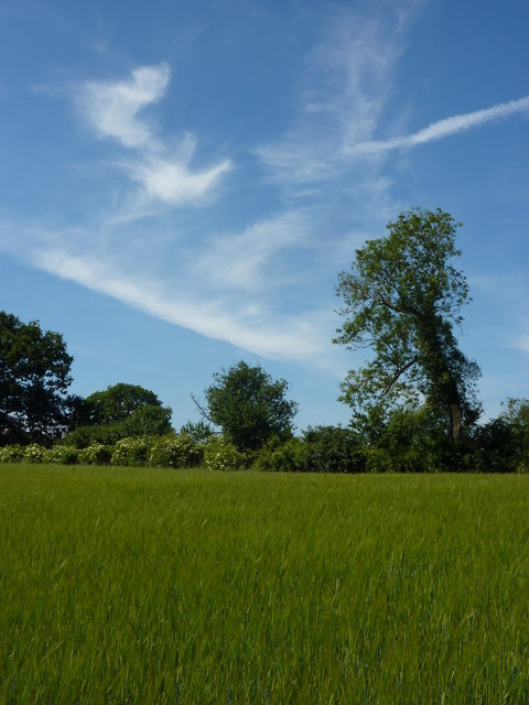
Image: © Andrew Hill Taken: 22 Jun 2010
Looking up slightly rising ground away from the River Poulter.
Images are licensed for reuse under creativecommons.org/licenses/by-sa/2.0
Image Location


Leaflet Map data © OpenStreetMap
Latitude
53.267939
Longitude
-0.974398