Road junctions in Stelling Minnis
Introduction
The photograph on this page of Road junctions in Stelling Minnis by David Anstiss as part of the Geograph project.
The Geograph project started in 2005 with the aim of publishing, organising and preserving representative images for every square kilometre of Great Britain, Ireland and the Isle of Man.

There are currently over 7.5m images from over 14,400 individuals and you can help contribute to the project by visiting https://www.geograph.org.uk
Road junctions in Stelling Minnis
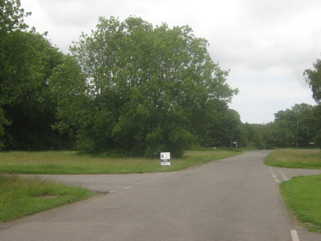
Image: © David Anstiss Taken: 20 Jun 2010
Curtis Lane from the B2068 Stone Street heads straight on towards Bossingham Road, (in the background) heading left towards Bossingham and right towards Wheelbarrow Town. In the foreground, Mill Lane leads right towards a windmill and Image It also leads left to join Bossingham Road.
Images are licensed for reuse under creativecommons.org/licenses/by-sa/2.0
Image Location
Latitude
51.179548
Longitude
1.067581