Overgrown path to Misling Lane
Introduction
The photograph on this page of Overgrown path to Misling Lane by David Anstiss as part of the Geograph project.
The Geograph project started in 2005 with the aim of publishing, organising and preserving representative images for every square kilometre of Great Britain, Ireland and the Isle of Man.

There are currently over 7.5m images from over 14,400 individuals and you can help contribute to the project by visiting https://www.geograph.org.uk
Overgrown path to Misling Lane
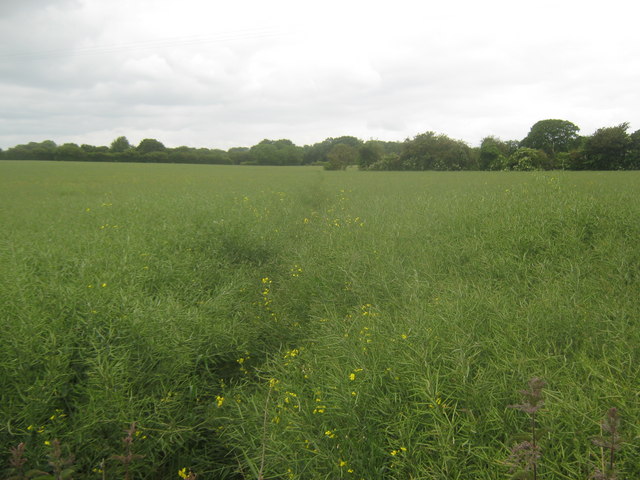
Image: © David Anstiss Taken: 20 Jun 2010
A path leads from Stone Street near the George Inn, through a mature oil seed rape plant field heading towards Image Compare with Image The reverse of the path. Edards Wood is in the background.
Images are licensed for reuse under creativecommons.org/licenses/by-sa/2.0
Image Location
Latitude
51.163549
Longitude
1.049924