Road, Rathlin Island
Introduction
The photograph on this page of Road, Rathlin Island by Rossographer as part of the Geograph project.
The Geograph project started in 2005 with the aim of publishing, organising and preserving representative images for every square kilometre of Great Britain, Ireland and the Isle of Man.

There are currently over 7.5m images from over 14,400 individuals and you can help contribute to the project by visiting https://www.geograph.org.uk
Road, Rathlin Island
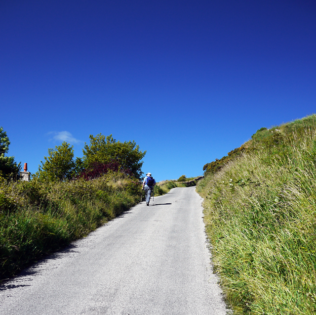
Image: © Rossographer Taken: 19 Jun 2010
There are only a few roads on Rathlin Island and none of them are named. This is a steep ascent on the route from Church Quarter towards West Lighthouse.
Images are licensed for reuse under creativecommons.org/licenses/by-sa/2.0
Image Location
Latitude
55.295325
Longitude
-6.201688