Stirling Baptist Church
Introduction
The photograph on this page of Stirling Baptist Church by Andrew Smith as part of the Geograph project.
The Geograph project started in 2005 with the aim of publishing, organising and preserving representative images for every square kilometre of Great Britain, Ireland and the Isle of Man.

There are currently over 7.5m images from over 14,400 individuals and you can help contribute to the project by visiting https://www.geograph.org.uk
Stirling Baptist Church
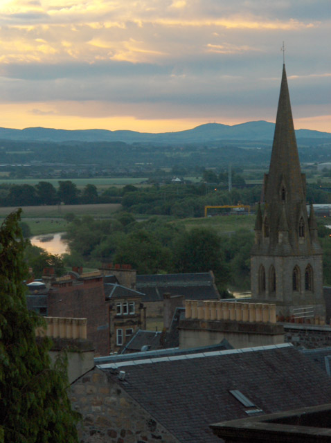
Image: © Andrew Smith Taken: 25 Jun 2006
The Ordnance Survey don't give the church a spire. It is near the railway station. The River Forth can be seen just meandering into the grid-square. In the distance is Knock Hill near Dunfermline.
Images are licensed for reuse under creativecommons.org/licenses/by-sa/2.0
Image Location
Latitude
56.119012
Longitude
-3.938105