Lane leading from Watt's Meadow towards Priestfields, Rochester
Introduction
The photograph on this page of Lane leading from Watt's Meadow towards Priestfields, Rochester by Chris Whippet as part of the Geograph project.
The Geograph project started in 2005 with the aim of publishing, organising and preserving representative images for every square kilometre of Great Britain, Ireland and the Isle of Man.

There are currently over 7.5m images from over 14,400 individuals and you can help contribute to the project by visiting https://www.geograph.org.uk
Lane leading from Watt's Meadow towards Priestfields, Rochester
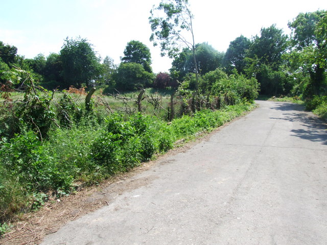
Image: © Chris Whippet Taken: 14 Jun 2010
The land either side has been earmarked for development.
Images are licensed for reuse under creativecommons.org/licenses/by-sa/2.0
Image Location
Latitude
51.375883
Longitude
0.496661