Woollam's Place, off South Road
Introduction
The photograph on this page of Woollam's Place, off South Road by Stephen Wilks as part of the Geograph project.
The Geograph project started in 2005 with the aim of publishing, organising and preserving representative images for every square kilometre of Great Britain, Ireland and the Isle of Man.

There are currently over 7.5m images from over 14,400 individuals and you can help contribute to the project by visiting https://www.geograph.org.uk
Woollam's Place, off South Road
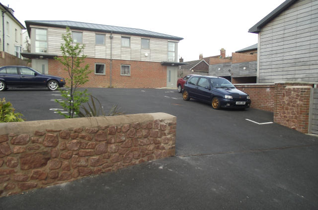
Image: © Stephen Wilks Taken: 28 Apr 2010
2-bedroom townhouses in the Woollam's Place development. I'm a bit inclined to say this development doesn't blend particularly well with the rest of the town. (But perhaps that's the point, seeing as they are supposed to have some energy-saving features. Judge for yourself by taking a look at a view of the development on the corner of South Road and St. Decuman's Road. http://www.evenrange.com/assets/WoollamsBrochure.pdf ) I can just about remember Headmaster Alan Woollam after whom the development was named. Built on the site of the former Watchet Church Primary School. Almost opposite School Close, which was built on the former Watchet County Primary School. http://www.geograph.org.uk/photo/1926978 I remember a high degree of cooperation between the schools. The Church School had a hall that could do shows, while County School had an open-air swimming pool that had been built by the parents.
Images are licensed for reuse under creativecommons.org/licenses/by-sa/2.0
Image Location
Latitude
51.178771
Longitude
-3.328556