Bournemouth: Old Christchurch Road and St. Peter?s church
Introduction
The photograph on this page of Bournemouth: Old Christchurch Road and St. Peter?s church by Chris Downer as part of the Geograph project.
The Geograph project started in 2005 with the aim of publishing, organising and preserving representative images for every square kilometre of Great Britain, Ireland and the Isle of Man.

There are currently over 7.5m images from over 14,400 individuals and you can help contribute to the project by visiting https://www.geograph.org.uk
Bournemouth: Old Christchurch Road and St. Peter?s church
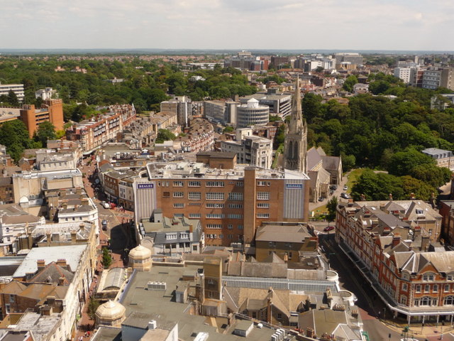
Image: © Chris Downer Taken: 21 Jun 2010
It is only from up in Image that the central parish church and the pedestrianised Old Christchurch Road could both be viewed in one picture. The steeple of the church is almost pointing at the various office blocks of the Lansdowne – the chief business area of the town.
Images are licensed for reuse under creativecommons.org/licenses/by-sa/2.0
Image Location
Latitude
50.72135
Longitude
-1.87642