Footpath through woods - St Donat's
Introduction
The photograph on this page of Footpath through woods - St Donat's by Mick Lobb as part of the Geograph project.
The Geograph project started in 2005 with the aim of publishing, organising and preserving representative images for every square kilometre of Great Britain, Ireland and the Isle of Man.

There are currently over 7.5m images from over 14,400 individuals and you can help contribute to the project by visiting https://www.geograph.org.uk
Footpath through woods - St Donat's
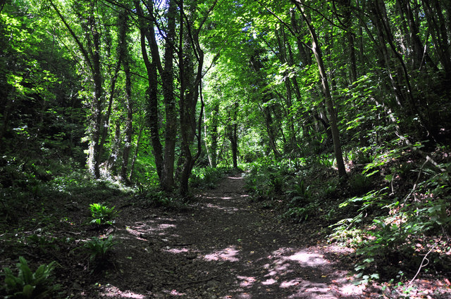
Image: © Mick Lobb Taken: 21 Jun 2010
The benefits of broad leafed woodland in terms of the flora and fauna they support are well documented. Here in the valley the denseley growing trees restrict light and little falls upon the lower levels to promote growth of smaller plants. The exception is of course the dreaded Himalayan Balsam which grows wherever it finds a foothold beside the path.
Images are licensed for reuse under creativecommons.org/licenses/by-sa/2.0
Image Location
Latitude
51.402764
Longitude
-3.535016