The Old School Ratley
Introduction
The photograph on this page of The Old School Ratley by David Stowell as part of the Geograph project.
The Geograph project started in 2005 with the aim of publishing, organising and preserving representative images for every square kilometre of Great Britain, Ireland and the Isle of Man.

There are currently over 7.5m images from over 14,400 individuals and you can help contribute to the project by visiting https://www.geograph.org.uk
The Old School Ratley
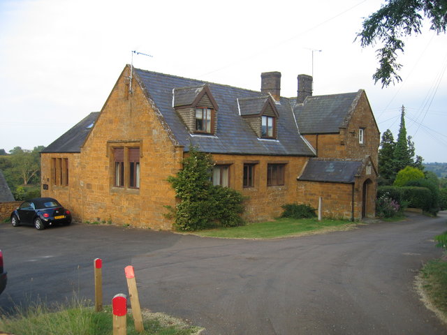
Image: © David Stowell Taken: 27 Jun 2006
The former school building at the top of the village has now been converted into housing.
Images are licensed for reuse under creativecommons.org/licenses/by-sa/2.0
Image Location
Latitude
52.123599
Longitude
-1.44345