View towards Highworth from Eastrop
Introduction
The photograph on this page of View towards Highworth from Eastrop by David Hillas as part of the Geograph project.
The Geograph project started in 2005 with the aim of publishing, organising and preserving representative images for every square kilometre of Great Britain, Ireland and the Isle of Man.

There are currently over 7.5m images from over 14,400 individuals and you can help contribute to the project by visiting https://www.geograph.org.uk
View towards Highworth from Eastrop
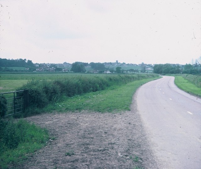
Image: © David Hillas Taken: 25 Jun 1977
Looking westwards towards Highworth along the B4019 road from Eastrop. The tower of St Michael's Parish Church can be seen on the horizon. Eastrop's postcode is SN6 7PP.
Images are licensed for reuse under creativecommons.org/licenses/by-sa/2.0
Image Location


Leaflet Map data © OpenStreetMap
Latitude
51.629414
Longitude
-1.705375