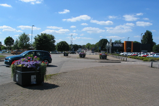
Holyhead Road, Coventry
Introduction
The photograph on this page of Holyhead Road, Coventry by E Gammie as part of the Geograph project.
The Geograph project started in 2005 with the aim of publishing, organising and preserving representative images for every square kilometre of Great Britain, Ireland and the Isle of Man.
There are currently over 7.5m images from over 14,400 individuals and you can help contribute to the project by visiting https://www.geograph.org.uk

Image: © E Gammie Taken: 21 Jun 2010
The Holyhead Road was cut through from the city centre to Allesley as part of the improvements to the London-Holyhead coach route made by Thomas Telford in the 1820s. It was straighter and had a more even gradient than the previous section which went via Spon Street and the Allesley Road (now Allesley Old Road). The photographer's position would have been the centre of the road before the Alvis retail park necessitated changes to the road layout.

