Stonecrop, Townsend
Introduction
The photograph on this page of Stonecrop, Townsend by Derek Harper as part of the Geograph project.
The Geograph project started in 2005 with the aim of publishing, organising and preserving representative images for every square kilometre of Great Britain, Ireland and the Isle of Man.

There are currently over 7.5m images from over 14,400 individuals and you can help contribute to the project by visiting https://www.geograph.org.uk
Stonecrop, Townsend
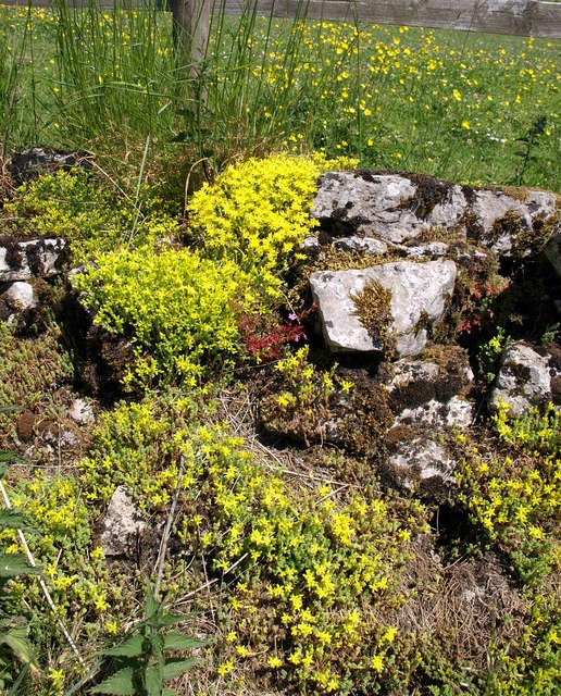
Image: © Derek Harper Taken: 17 Jun 2010
Sedum acre living up to its name of wall-pepper on this roadside wall, with buttercups adding to the yellow in the field behind.
Images are licensed for reuse under creativecommons.org/licenses/by-sa/2.0
Image Location
Latitude
51.263271
Longitude
-2.683162