Signpost at Cheswardine
Introduction
The photograph on this page of Signpost at Cheswardine by Oliver Dixon as part of the Geograph project.
The Geograph project started in 2005 with the aim of publishing, organising and preserving representative images for every square kilometre of Great Britain, Ireland and the Isle of Man.

There are currently over 7.5m images from over 14,400 individuals and you can help contribute to the project by visiting https://www.geograph.org.uk
Signpost at Cheswardine
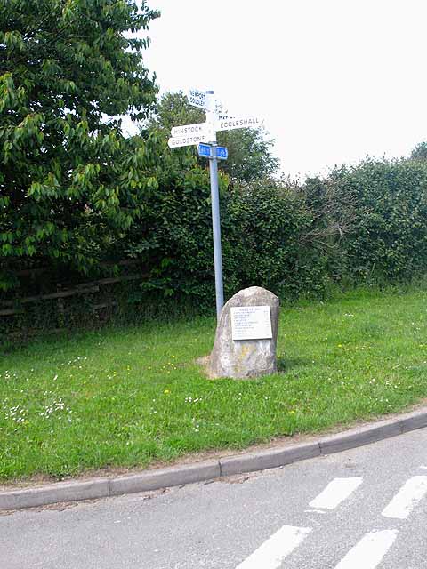
Image: © Oliver Dixon Taken: 16 Jun 2010
Signpost at the south end of Cheswardine village. The blue signs refer to National Cycle Network route 55. For detail of the milestone see Image
Images are licensed for reuse under creativecommons.org/licenses/by-sa/2.0
Image Location
Latitude
52.861535
Longitude
-2.416286