Wall by East Water Lane
Introduction
The photograph on this page of Wall by East Water Lane by Derek Harper as part of the Geograph project.
The Geograph project started in 2005 with the aim of publishing, organising and preserving representative images for every square kilometre of Great Britain, Ireland and the Isle of Man.

There are currently over 7.5m images from over 14,400 individuals and you can help contribute to the project by visiting https://www.geograph.org.uk
Wall by East Water Lane
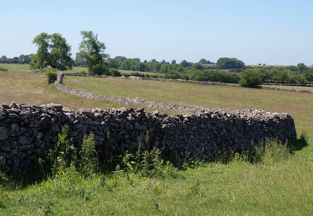
Image: © Derek Harper Taken: 17 Jun 2010
A wandering dry stone wall between fields of grass north of Eastwater.
Images are licensed for reuse under creativecommons.org/licenses/by-sa/2.0
Image Location
Latitude
51.258055
Longitude
-2.667751