Meadow, Eastwater
Introduction
The photograph on this page of Meadow, Eastwater by Derek Harper as part of the Geograph project.
The Geograph project started in 2005 with the aim of publishing, organising and preserving representative images for every square kilometre of Great Britain, Ireland and the Isle of Man.

There are currently over 7.5m images from over 14,400 individuals and you can help contribute to the project by visiting https://www.geograph.org.uk
Meadow, Eastwater
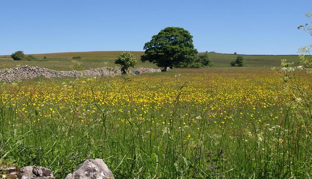
Image: © Derek Harper Taken: 17 Jun 2010
A buttercup-filled meadow beside East Water Lane just north of the end of the public road and the start of byway WS 8/38. A drystone wall leads towards an oak.
Images are licensed for reuse under creativecommons.org/licenses/by-sa/2.0
Image Location
Latitude
51.256719
Longitude
-2.665438