Field by Under Wood
Introduction
The photograph on this page of Field by Under Wood by Derek Harper as part of the Geograph project.
The Geograph project started in 2005 with the aim of publishing, organising and preserving representative images for every square kilometre of Great Britain, Ireland and the Isle of Man.

There are currently over 7.5m images from over 14,400 individuals and you can help contribute to the project by visiting https://www.geograph.org.uk
Field by Under Wood
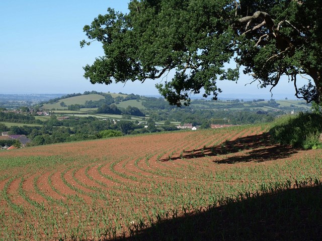
Image: © Derek Harper Taken: 17 Jun 2010
A view across a field of young maize and beneath an oak tree from footpath WS 17/4 south of Milton Hill. On the left is Ben Knowle Hill; the church tower just visible on the right is at Wookey.
Images are licensed for reuse under creativecommons.org/licenses/by-sa/2.0
Image Location
Latitude
51.215853
Longitude
-2.657117