Lodge Lane
Introduction
The photograph on this page of Lodge Lane by Ian Capper as part of the Geograph project.
The Geograph project started in 2005 with the aim of publishing, organising and preserving representative images for every square kilometre of Great Britain, Ireland and the Isle of Man.

There are currently over 7.5m images from over 14,400 individuals and you can help contribute to the project by visiting https://www.geograph.org.uk
Lodge Lane
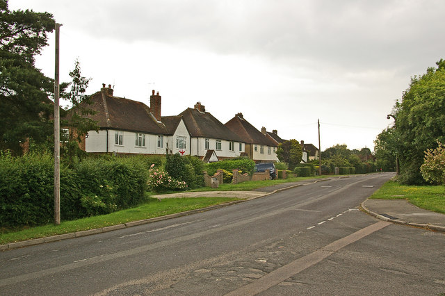
Image: © Ian Capper Taken: 19 Jun 2010
Houses in Lodge Lane by its junction with Montfort Rise. The name Lodge Lane refers to Horley Lodge Manor House, one of five manor houses in the original parish of Horley, situated at the end of what is now Montfort Rise.
Images are licensed for reuse under creativecommons.org/licenses/by-sa/2.0
Image Location
Latitude
51.200623
Longitude
-0.170578