Clickimin playing fields, Lerwick
Introduction
The photograph on this page of Clickimin playing fields, Lerwick by Mike Pennington as part of the Geograph project.
The Geograph project started in 2005 with the aim of publishing, organising and preserving representative images for every square kilometre of Great Britain, Ireland and the Isle of Man.

There are currently over 7.5m images from over 14,400 individuals and you can help contribute to the project by visiting https://www.geograph.org.uk
Clickimin playing fields, Lerwick
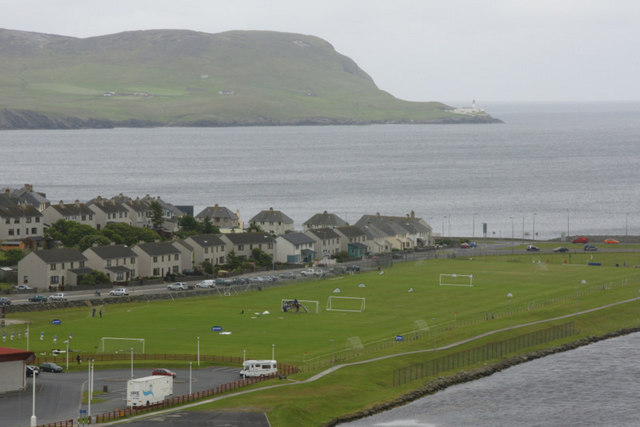
Image: © Mike Pennington Taken: 19 Jun 2010
These fields are built on the site of the former Lerwick town dump. Kirkabister Ness, Bressay, and its lighthouse are in the background.
Images are licensed for reuse under creativecommons.org/licenses/by-sa/2.0
Image Location
Latitude
60.151373
Longitude
-1.161438