Clun Square
Introduction
The photograph on this page of Clun Square by Oliver Dixon as part of the Geograph project.
The Geograph project started in 2005 with the aim of publishing, organising and preserving representative images for every square kilometre of Great Britain, Ireland and the Isle of Man.

There are currently over 7.5m images from over 14,400 individuals and you can help contribute to the project by visiting https://www.geograph.org.uk
Clun Square
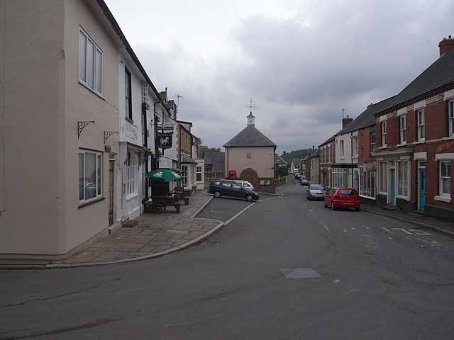
Image: © Oliver Dixon Taken: 14 Jun 2010
Main road traffic on the A488 has to negotiate some tight bends and parked cars to get through the town.
Images are licensed for reuse under creativecommons.org/licenses/by-sa/2.0
Image Location
Latitude
52.421238
Longitude
-3.029874