Maize by the A38
Introduction
The photograph on this page of Maize by the A38 by Robin Stott as part of the Geograph project.
The Geograph project started in 2005 with the aim of publishing, organising and preserving representative images for every square kilometre of Great Britain, Ireland and the Isle of Man.

There are currently over 7.5m images from over 14,400 individuals and you can help contribute to the project by visiting https://www.geograph.org.uk
Maize by the A38
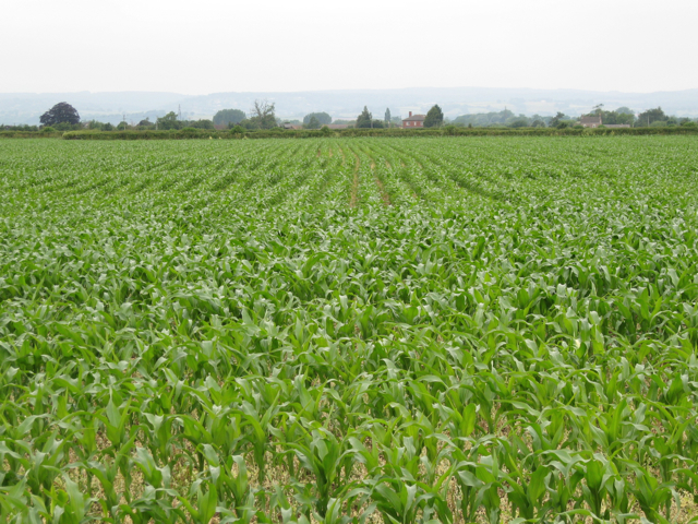
Image: © Robin Stott Taken: 18 Jun 2010
Looking northwest to the houses on the lane between Slimbridge and Moorend.
Images are licensed for reuse under creativecommons.org/licenses/by-sa/2.0
Image Location
Latitude
51.720616
Longitude
-2.377781