Rockbourne Village
Introduction
The photograph on this page of Rockbourne Village by mike smith as part of the Geograph project.
The Geograph project started in 2005 with the aim of publishing, organising and preserving representative images for every square kilometre of Great Britain, Ireland and the Isle of Man.

There are currently over 7.5m images from over 14,400 individuals and you can help contribute to the project by visiting https://www.geograph.org.uk
Rockbourne Village
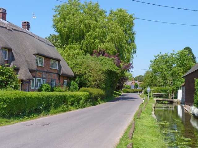
Image: © mike smith Taken: 4 Jun 2010
This is a general view of the road through the village. On the right is a stream known as Sweatfords Water, which rises in Rockbourne Down and flows straight through the village by the side of the road.
Images are licensed for reuse under creativecommons.org/licenses/by-sa/2.0
Image Location


Leaflet Map data © OpenStreetMap
Latitude
50.962392
Longitude
-1.838333