Matilda Drive, Belfast
Introduction
The photograph on this page of Matilda Drive, Belfast by Albert Bridge as part of the Geograph project.
The Geograph project started in 2005 with the aim of publishing, organising and preserving representative images for every square kilometre of Great Britain, Ireland and the Isle of Man.

There are currently over 7.5m images from over 14,400 individuals and you can help contribute to the project by visiting https://www.geograph.org.uk
Matilda Drive, Belfast
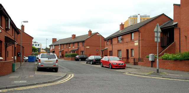
Image: © Albert Bridge Taken: 18 Jun 2010
Redeveloped street between Sandy Row and the Donegall Road. If my memory is correct, then it’s approximately on the site of Primitive Street which had, I think, a Methodist church at the Donegall Road end.
Images are licensed for reuse under creativecommons.org/licenses/by-sa/2.0
Image Location
Latitude
54.58981
Longitude
-5.937416