Main Street, Kelbrook, Yorkshire
Introduction
The photograph on this page of Main Street, Kelbrook, Yorkshire by Dr Neil Clifton as part of the Geograph project.
The Geograph project started in 2005 with the aim of publishing, organising and preserving representative images for every square kilometre of Great Britain, Ireland and the Isle of Man.

There are currently over 7.5m images from over 14,400 individuals and you can help contribute to the project by visiting https://www.geograph.org.uk
Main Street, Kelbrook, Yorkshire
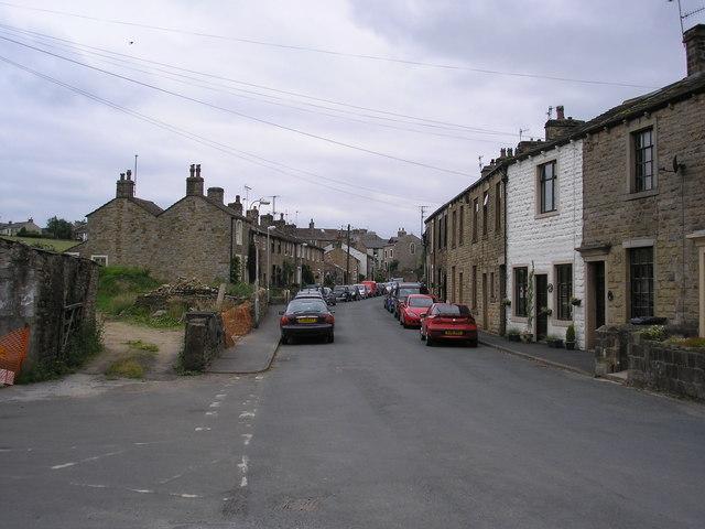
Image: © Dr Neil Clifton Taken: 26 Jun 2006
This street once formed part of the A56 trunk road from Colne to Skipton, but the 1930's improvements carried out by the West Riding County Council saw the street bypassed by a new cut-off, so that the main road now runs some 200 metres to the west.
Images are licensed for reuse under creativecommons.org/licenses/by-sa/2.0
Image Location
Latitude
53.897477
Longitude
-2.15062