Watchet's South Road/Woodlands Road area
Introduction
The photograph on this page of Watchet's South Road/Woodlands Road area by Stephen Wilks as part of the Geograph project.
The Geograph project started in 2005 with the aim of publishing, organising and preserving representative images for every square kilometre of Great Britain, Ireland and the Isle of Man.

There are currently over 7.5m images from over 14,400 individuals and you can help contribute to the project by visiting https://www.geograph.org.uk
Watchet's South Road/Woodlands Road area
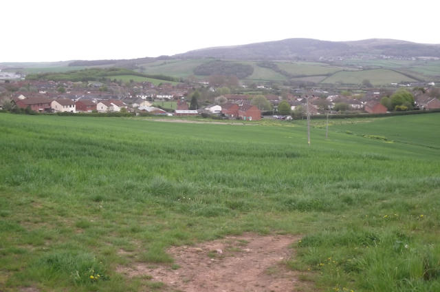
Image: © Stephen Wilks Taken: 1 May 2010
With the Staple Plain area of the Quantock Hills on the skyline. Taken from the St. Decuman's Road to Parsonage Farm footpath. The light industrial units - on the other side of the field - are on the site of a former gasworks, whose gasholders were demolished some years back. I can remember South Wales coke being imported through Watchet Harbour, back in the early 1960s, to produce the gas at this site.
Images are licensed for reuse under creativecommons.org/licenses/by-sa/2.0
Image Location
Latitude
51.176169
Longitude
-3.328052