Hulme Hall Lane, Miles Platting
Introduction
The photograph on this page of Hulme Hall Lane, Miles Platting by Bill Boaden as part of the Geograph project.
The Geograph project started in 2005 with the aim of publishing, organising and preserving representative images for every square kilometre of Great Britain, Ireland and the Isle of Man.

There are currently over 7.5m images from over 14,400 individuals and you can help contribute to the project by visiting https://www.geograph.org.uk
Hulme Hall Lane, Miles Platting
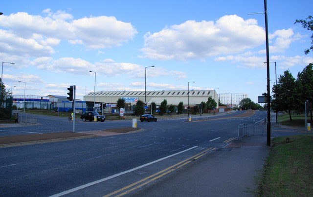
Image: © Bill Boaden Taken: 17 Jun 2010
Part of the inner Manchester ringroad. Sportcity begins just the other side of the gasholder, and the land opposite is used for matchday parking.
Images are licensed for reuse under creativecommons.org/licenses/by-sa/2.0
Image Location
Latitude
53.493823
Longitude
-2.208722