Poulton Priory, Poulton
Introduction
The photograph on this page of Poulton Priory, Poulton by Brian Robert Marshall as part of the Geograph project.
The Geograph project started in 2005 with the aim of publishing, organising and preserving representative images for every square kilometre of Great Britain, Ireland and the Isle of Man.

There are currently over 7.5m images from over 14,400 individuals and you can help contribute to the project by visiting https://www.geograph.org.uk
Poulton Priory, Poulton
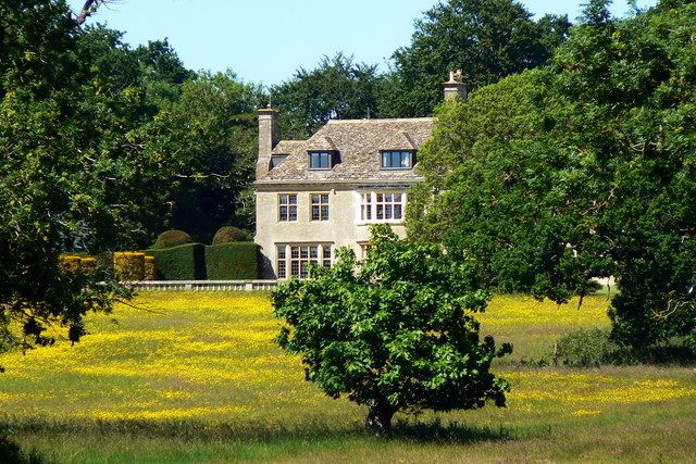
Image: © Brian Robert Marshall Taken: 17 Jun 2010
The Priory is well-hidden from most viewpoints. This is about the only one in a public place where the main building can be seen. The property does not appear to be listed and there are no listed building applications in respect of it in the local council's planning files so maybe it is a fairly recent development.
Images are licensed for reuse under creativecommons.org/licenses/by-sa/2.0
Image Location
Latitude
51.69642
Longitude
-1.864528