A cleared site in Miles Platting
Introduction
The photograph on this page of A cleared site in Miles Platting by Bill Boaden as part of the Geograph project.
The Geograph project started in 2005 with the aim of publishing, organising and preserving representative images for every square kilometre of Great Britain, Ireland and the Isle of Man.

There are currently over 7.5m images from over 14,400 individuals and you can help contribute to the project by visiting https://www.geograph.org.uk
A cleared site in Miles Platting
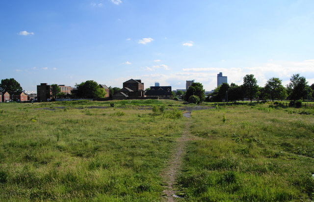
Image: © Bill Boaden Taken: 17 Jun 2010
Looking towards Manchester, where you can see the top of Beetham Tower, the CIS Building and a new residential block at the bottom of Rochdale Road.
Images are licensed for reuse under creativecommons.org/licenses/by-sa/2.0
Image Location
Latitude
53.491546
Longitude
-2.224988