The middle of Kingsway
Introduction
The photograph on this page of The middle of Kingsway by Gerald England as part of the Geograph project.
The Geograph project started in 2005 with the aim of publishing, organising and preserving representative images for every square kilometre of Great Britain, Ireland and the Isle of Man.

There are currently over 7.5m images from over 14,400 individuals and you can help contribute to the project by visiting https://www.geograph.org.uk
The middle of Kingsway
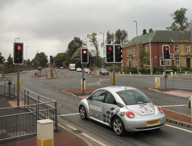
Image: © Gerald England Taken: 10 Jun 2010
Rochdale's Eastern bypass is the A664. Right here is Moss Bridge Road. The left turn used to be Betty Nuppy's Lane but is now Sir Isaac Newton Way leading into the Kingsway Development and towards Junction 21 of the M62.
Images are licensed for reuse under creativecommons.org/licenses/by-sa/2.0
Image Location
Latitude
53.606281
Longitude
-2.136885