Bench Mark, Craigavad
Introduction
The photograph on this page of Bench Mark, Craigavad by Rossographer as part of the Geograph project.
The Geograph project started in 2005 with the aim of publishing, organising and preserving representative images for every square kilometre of Great Britain, Ireland and the Isle of Man.

There are currently over 7.5m images from over 14,400 individuals and you can help contribute to the project by visiting https://www.geograph.org.uk
Bench Mark, Craigavad
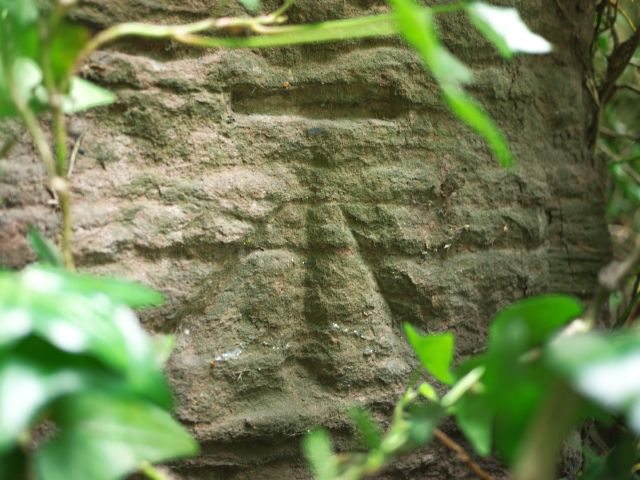
Image: © Rossographer Taken: 16 Jun 2010
Cut bench mark on the railway bridge at Station Road, Craigavad Image It lies almost hidden by deep foliage on the right hand side as you head downhill. The mark is 42.35 metres above MSL. See also http://www.geograph.org.uk/search.php?i=11037856 for many other examples I have found.
Images are licensed for reuse under creativecommons.org/licenses/by-sa/2.0
Image Location
Latitude
54.655533
Longitude
-5.792135