Courtenay Road, Barry
Introduction
The photograph on this page of Courtenay Road, Barry by Jaggery as part of the Geograph project.
The Geograph project started in 2005 with the aim of publishing, organising and preserving representative images for every square kilometre of Great Britain, Ireland and the Isle of Man.

There are currently over 7.5m images from over 14,400 individuals and you can help contribute to the project by visiting https://www.geograph.org.uk
Courtenay Road, Barry
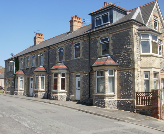
Image: © Jaggery Taken: 16 Jun 2010
Houses on the east side of Courtenay Road, viewed from the Holton Road end. The houses on the other side of the road stretch for more than twice the length of this side because several east side houses were demolished on the construction of Gladstone Road.
Images are licensed for reuse under creativecommons.org/licenses/by-sa/2.0
Image Location
Latitude
51.410608
Longitude
-3.253739